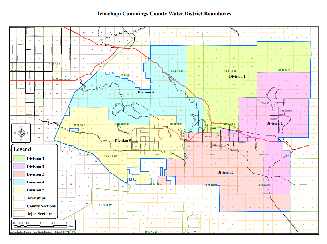
District Map
Function and Service Area
The District is located in the Tehachapi Mountains east of the Southern San Joaquin Valley and encompasses approximately 266,000 acres. The District provides an imported water supply, groundwater resource management, and flood protection. The District imports State Water Project (SWP) water from the California Aqueduct and sells this imported water to municipal/industrial (M&I) and agricultural (Ag) customers.